Millimeter-Accurate Verification of Finished Construction
As-Built Surveys in Florida for confirmation that constructed elements match your design model before critical next steps
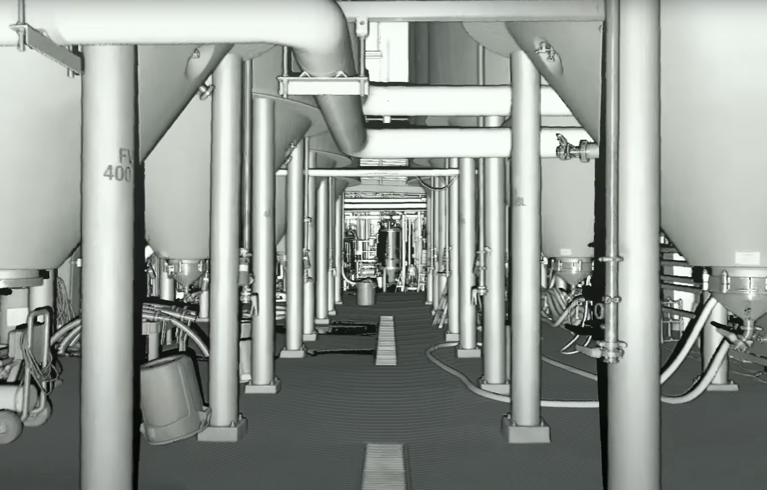
Aerial Metrology & Inspection delivers as-built surveys using terrestrial LiDAR scanning to create a precise digital record of your completed construction project. If you manage commercial facilities, coordinate structural installations, or oversee concrete placements across Florida, you rely on exact positioning data to confirm that every component sits exactly where the plan says it should. Our scanning captures millions of data points to build a three-dimensional model that you can measure, query, and compare directly against your original design files.
This service addresses the risk that accompanies any build: the gap between what was drawn and what actually exists on site. LiDAR scanning documents anchor bolt patterns, embedded conduit paths, floor elevations, and structural steel connections with millimeter precision. When you receive the data, you hold a queryable digital twin that eliminates guesswork and provides a defensible record if questions arise during commissioning or future renovations.
Request a quote to document your project with scan data that supports confident decision-making throughout construction and facility management.
How Pre-Concrete and Foundation Scanning Prevent Costly Corrections
You schedule a scan before the concrete pour to verify that plumbing runs, electrical conduit, and mechanical embeds are positioned correctly. Aerial Metrology & Inspection compares the scan data to your design model and flags any discrepancies before the slab is placed. Moving a drain line embedded in concrete costs tens of thousands of dollars and delays your schedule by weeks; catching the misalignment in the scan report costs a fraction of that and keeps the pour on track.
After the foundation is complete, you notice that anchor bolt locations align precisely with the base plates for your structural steel or heavy machinery. Floor flatness analysis delivers the data required for automated guided vehicles or high-density racking systems, confirming that elevation tolerances meet the strict thresholds these systems demand. Clash detection overlays the as-built scan onto your building information model, identifying conflicts between ductwork and structural beams before trades begin work that would need to be redone.
The digital twin remains valuable long after construction ends. Facility managers use it to plan tenant improvements, locate hidden infrastructure, and coordinate maintenance without opening walls. The data becomes a permanent asset that reduces risk and informs every future decision about the building.
What You Should Know About LiDAR As-Built Documentation
Questions about scan accuracy, deliverable formats, and how the data integrates into your workflow come up on every project, so here are answers based on typical Florida construction conditions.
What level of accuracy does terrestrial LiDAR scanning provide for as-built documentation?
The scanner captures points with millimeter precision, allowing you to measure distances, verify elevations, and check alignment at a resolution far exceeding tape measures or total station shots.
How does pre-concrete scanning prevent problems during a slab pour?
You receive a report showing any plumbing, electrical, or mechanical elements that deviate from the design, giving your trades time to reposition components before concrete trucks arrive on site.
When should anchor bolt surveys be performed for structural steel erection?
Schedule the scan immediately after bolts are set and grouted, allowing the steel fabricator to confirm that base plate holes will align without field modifications or shims.
Why does floor flatness data matter for warehouse and distribution facilities in Florida?
Automated equipment and high-bay racking require strict elevation tolerances; scan data provides the measurements warehouse operators and insurance providers need to certify the slab for intended use.
What file formats does Aerial Metrology & Inspection deliver for as-built scan data?
You receive point clouds in standard formats compatible with AutoCAD, Revit, and other design platforms, along with PDF reports showing dimensional callouts and deviation maps.
Aerial Metrology & Inspection provides scan data that becomes the foundation for informed construction decisions and long-term facility management. Contact us for a project-specific quote that outlines scan coverage, deliverable formats, and timeline.
